Former mine building at Headland Warren
Introduction
The photograph on this page of Former mine building at Headland Warren by Stephen Craven as part of the Geograph project.
The Geograph project started in 2005 with the aim of publishing, organising and preserving representative images for every square kilometre of Great Britain, Ireland and the Isle of Man.

There are currently over 7.5m images from over 14,400 individuals and you can help contribute to the project by visiting https://www.geograph.org.uk
Former mine building at Headland Warren
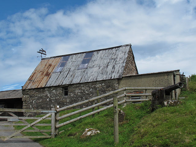
Image: © Stephen Craven Taken: 3 Aug 2011
According to a guidebook, this tin-roofed stone building was associated with tin mining in the area. The origin of the adjacent cannon is less clear.
Images are licensed for reuse under creativecommons.org/licenses/by-sa/2.0
Image Location


Leaflet Map data © OpenStreetMap
Latitude
50.614842
Longitude
-3.848322