Far end of Lysaght Way, Lysaght Village, Newport
Introduction
The photograph on this page of Far end of Lysaght Way, Lysaght Village, Newport by Jaggery as part of the Geograph project.
The Geograph project started in 2005 with the aim of publishing, organising and preserving representative images for every square kilometre of Great Britain, Ireland and the Isle of Man.

There are currently over 7.5m images from over 14,400 individuals and you can help contribute to the project by visiting https://www.geograph.org.uk
Far end of Lysaght Way, Lysaght Village, Newport
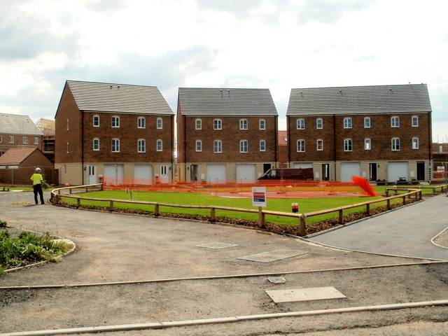
Image: © Jaggery Taken: 5 Aug 2011
Viewed from the edge of Lysaght Way. The housing is in a section of Lysaght Village http://www.geograph.org.uk/photo/2539967 without, as yet (early August 2011), a street name sign. Newer houses at the left edge of the view do not yet have roofs.
Images are licensed for reuse under creativecommons.org/licenses/by-sa/2.0
Image Location
Latitude
51.575143
Longitude
-2.971094