Poverest Recreation Ground
Introduction
The photograph on this page of Poverest Recreation Ground by Marathon as part of the Geograph project.
The Geograph project started in 2005 with the aim of publishing, organising and preserving representative images for every square kilometre of Great Britain, Ireland and the Isle of Man.

There are currently over 7.5m images from over 14,400 individuals and you can help contribute to the project by visiting https://www.geograph.org.uk
Poverest Recreation Ground
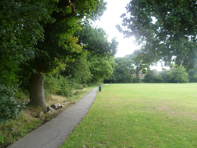
Image: © Marathon Taken: 5 Aug 2011
Half of this open space is devoted to Poverest Recreation Ground whilst the north-western half is Covert Wood. This view looks along the northern edge of the recreation ground.
Images are licensed for reuse under creativecommons.org/licenses/by-sa/2.0
Image Location
Latitude
51.385944
Longitude
0.098362