Farm yard near High Fodderlee
Introduction
The photograph on this page of Farm yard near High Fodderlee by Oliver Dixon as part of the Geograph project.
The Geograph project started in 2005 with the aim of publishing, organising and preserving representative images for every square kilometre of Great Britain, Ireland and the Isle of Man.

There are currently over 7.5m images from over 14,400 individuals and you can help contribute to the project by visiting https://www.geograph.org.uk
Farm yard near High Fodderlee
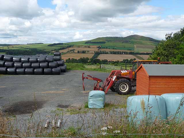
Image: © Oliver Dixon Taken: 5 Aug 2011
Farm yard close, but not adjacent, to High Fodderlee Farm. The distinctive summit of Rubers Law Image can be seen on the skyline beyond the valley of the Rule Water.
Images are licensed for reuse under creativecommons.org/licenses/by-sa/2.0
Image Location
Latitude
55.419051
Longitude
-2.6216