South Nutfield
Introduction
The photograph on this page of South Nutfield by David Kemp as part of the Geograph project.
The Geograph project started in 2005 with the aim of publishing, organising and preserving representative images for every square kilometre of Great Britain, Ireland and the Isle of Man.

There are currently over 7.5m images from over 14,400 individuals and you can help contribute to the project by visiting https://www.geograph.org.uk
South Nutfield
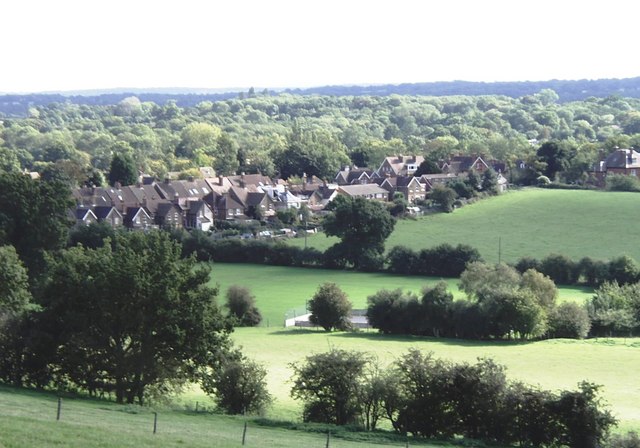
Image: © David Kemp Taken: 4 Oct 2006
This was taken looking down on the village from the Greensand Way. The wooded area to the south-east is part of the Low Weald.
Images are licensed for reuse under creativecommons.org/licenses/by-sa/2.0
Image Location
Latitude
51.228878
Longitude
-0.132376