Loddon Drive, Didcot
Introduction
The photograph on this page of Loddon Drive, Didcot by Des Blenkinsopp as part of the Geograph project.
The Geograph project started in 2005 with the aim of publishing, organising and preserving representative images for every square kilometre of Great Britain, Ireland and the Isle of Man.

There are currently over 7.5m images from over 14,400 individuals and you can help contribute to the project by visiting https://www.geograph.org.uk
Loddon Drive, Didcot
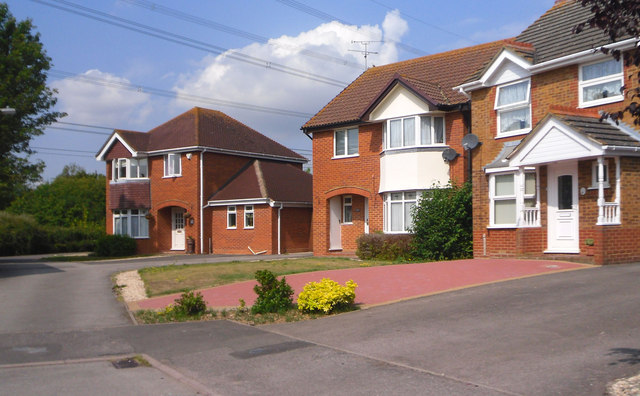
Image: © Des Blenkinsopp Taken: 3 Aug 2011
This newly built part of Didcot is far from being a boring load of identikit boxes. House shapes and styles are quite varied, including some of these retro bow fronted ones which could have come straight out of the 1930s, right down to the coloured glass flower motifs just visible in the lower quarter lights. All the roads here have river names. The River Loddon flows into the Thames near Reading.
Images are licensed for reuse under creativecommons.org/licenses/by-sa/2.0
Image Location
Latitude
51.610524
Longitude
-1.228214