Recreational Ground near Tubbenden Lane
Introduction
The photograph on this page of Recreational Ground near Tubbenden Lane by David Anstiss as part of the Geograph project.
The Geograph project started in 2005 with the aim of publishing, organising and preserving representative images for every square kilometre of Great Britain, Ireland and the Isle of Man.

There are currently over 7.5m images from over 14,400 individuals and you can help contribute to the project by visiting https://www.geograph.org.uk
Recreational Ground near Tubbenden Lane
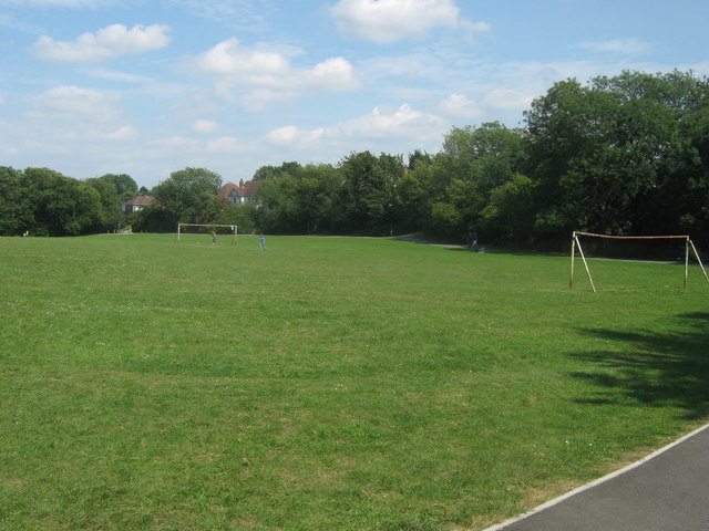
Image: © David Anstiss Taken: 31 Jul 2011
As seen from the London Loop (long distance path) leading from Darrick Wood towards the A21 Farnborough Way (behind the trees in the background).
Images are licensed for reuse under creativecommons.org/licenses/by-sa/2.0
Image Location
Latitude
51.362497
Longitude
0.076748