Track to Merkins Farm
Introduction
The photograph on this page of Track to Merkins Farm by Lairich Rig as part of the Geograph project.
The Geograph project started in 2005 with the aim of publishing, organising and preserving representative images for every square kilometre of Great Britain, Ireland and the Isle of Man.

There are currently over 7.5m images from over 14,400 individuals and you can help contribute to the project by visiting https://www.geograph.org.uk
Track to Merkins Farm
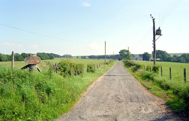
Image: © Lairich Rig Taken: Unknown
The picture was taken from the crossroads indicated on the map. At the time of submission, one of West Dunbartonshire's core paths (on the April 2009 list, it is path 147) leads from the crossroads, up past Merkins Farm, Merkins Cottage, and a sheepfold, to end at approximately Image The path is, according to that list, 1165 metres long; compare Image, taken about 17 years later. See also Image
Images are licensed for reuse under creativecommons.org/licenses/by-sa/2.0
Image Location
Latitude
56.014013
Longitude
-4.503839