Follyhatch Lane
Introduction
The photograph on this page of Follyhatch Lane by Alan Hunt as part of the Geograph project.
The Geograph project started in 2005 with the aim of publishing, organising and preserving representative images for every square kilometre of Great Britain, Ireland and the Isle of Man.

There are currently over 7.5m images from over 14,400 individuals and you can help contribute to the project by visiting https://www.geograph.org.uk
Follyhatch Lane
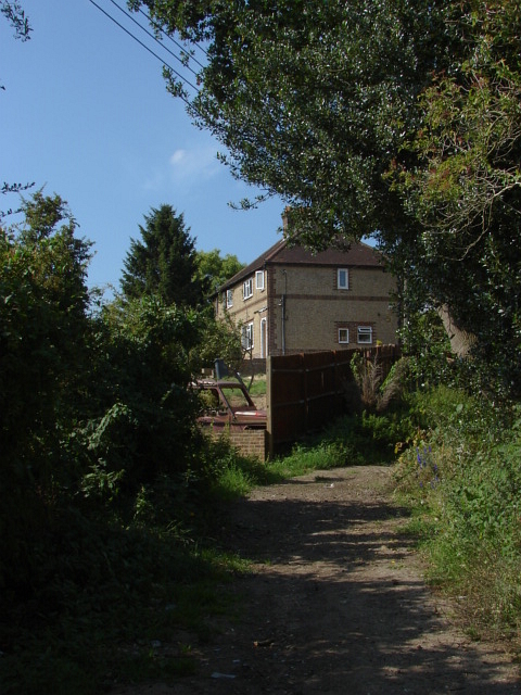
Image: © Alan Hunt Taken: 30 Jul 2011
The footpath known as Follyhatch lane with one of the houses at the bottom of Wyke Avenue
Images are licensed for reuse under creativecommons.org/licenses/by-sa/2.0
Image Location
Latitude
51.251717
Longitude
-0.696468