The Lane Ends
Introduction
The photograph on this page of The Lane Ends by Peter Barr as part of the Geograph project.
The Geograph project started in 2005 with the aim of publishing, organising and preserving representative images for every square kilometre of Great Britain, Ireland and the Isle of Man.

There are currently over 7.5m images from over 14,400 individuals and you can help contribute to the project by visiting https://www.geograph.org.uk
The Lane Ends
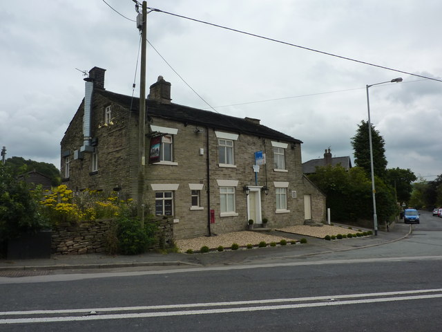
Image: © Peter Barr Taken: 1 Aug 2011
A pub at Lane Ends, near Marple Bridge, which may or may not be open, it was hard to tell, and opposite another pub called Travellers' Call.
Images are licensed for reuse under creativecommons.org/licenses/by-sa/2.0
Image Location
Latitude
53.408338
Longitude
-2.040275