A glimpse of Docks Way from Maesglas Close, Newport
Introduction
The photograph on this page of A glimpse of Docks Way from Maesglas Close, Newport by Jaggery as part of the Geograph project.
The Geograph project started in 2005 with the aim of publishing, organising and preserving representative images for every square kilometre of Great Britain, Ireland and the Isle of Man.

There are currently over 7.5m images from over 14,400 individuals and you can help contribute to the project by visiting https://www.geograph.org.uk
A glimpse of Docks Way from Maesglas Close, Newport
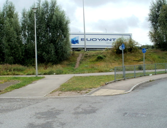
Image: © Jaggery Taken: 2 Aug 2011
The SE edge of housing in the Maesglas area of Newport borders the A48, here named Docks Way. That's not a large poster ahead, but the side of a lorry travelling on the A48.
Images are licensed for reuse under creativecommons.org/licenses/by-sa/2.0
Image Location
Latitude
51.565824
Longitude
-3.00985