Part of Bridgnorth from above Hermitage Hill Coppice
Introduction
The photograph on this page of Part of Bridgnorth from above Hermitage Hill Coppice by Jeremy Bolwell as part of the Geograph project.
The Geograph project started in 2005 with the aim of publishing, organising and preserving representative images for every square kilometre of Great Britain, Ireland and the Isle of Man.

There are currently over 7.5m images from over 14,400 individuals and you can help contribute to the project by visiting https://www.geograph.org.uk
Part of Bridgnorth from above Hermitage Hill Coppice
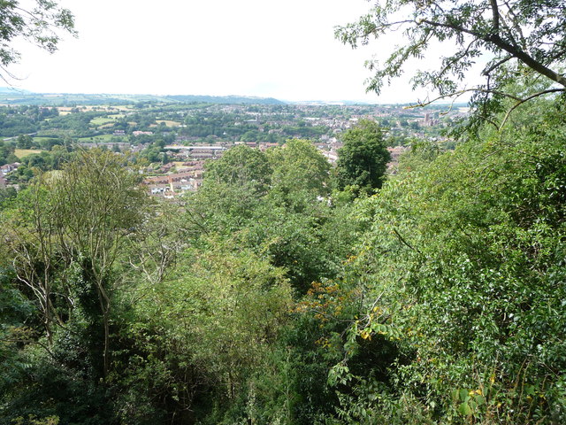
Image: © Jeremy Bolwell Taken: 2 Aug 2011
The drop below the path here is very steep, but offers good views over the woodland towards the town of Bridgnorth.
Images are licensed for reuse under creativecommons.org/licenses/by-sa/2.0
Image Location
Latitude
52.531937
Longitude
-2.40063