Angel Meadow and St Michael's Flags
Introduction
The photograph on this page of Angel Meadow and St Michael's Flags by Keith Williamson as part of the Geograph project.
The Geograph project started in 2005 with the aim of publishing, organising and preserving representative images for every square kilometre of Great Britain, Ireland and the Isle of Man.

There are currently over 7.5m images from over 14,400 individuals and you can help contribute to the project by visiting https://www.geograph.org.uk
Angel Meadow and St Michael's Flags
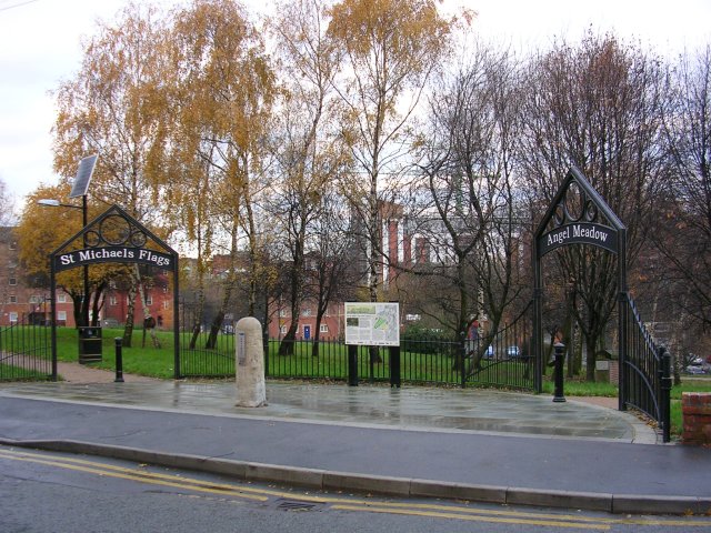
Image: © Keith Williamson Taken: 14 Dec 2005
Situated in Manchester's Northern Quarter, not far from the Cathedral, this pleasant green area has an interesting history, told on information boards around the site. Once the site of a church, a pauper's/plague burial ground and, reputedly, Manchester's worst slums. An estimated 40,000 bodies were buried here between 1787 and 1816. Some details here: http://en.wikipedia.org/wiki/St_Michael's_Flags_and_Angel_Meadow_Park
Images are licensed for reuse under creativecommons.org/licenses/by-sa/2.0
Image Location
Latitude
53.488648
Longitude
-2.235975