Fields south of Sherburn-in-Elmet
Introduction
The photograph on this page of Fields south of Sherburn-in-Elmet by Darren Haddock as part of the Geograph project.
The Geograph project started in 2005 with the aim of publishing, organising and preserving representative images for every square kilometre of Great Britain, Ireland and the Isle of Man.

There are currently over 7.5m images from over 14,400 individuals and you can help contribute to the project by visiting https://www.geograph.org.uk
Fields south of Sherburn-in-Elmet
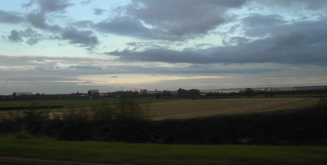
Image: © Darren Haddock Taken: 3 Oct 2006
View of fields near Home Farm south of Sherburn-in-Elmet looking from Milford Road across Bond Ings to Sherburn-in-Elmet Trading Estate in the distance.
Images are licensed for reuse under creativecommons.org/licenses/by-sa/2.0
Image Location


Leaflet Map data © OpenStreetMap
Latitude
53.786447
Longitude
-1.245629