New Cumnock Auld Kirkyard
Introduction
The photograph on this page of New Cumnock Auld Kirkyard by Walter Baxter as part of the Geograph project.
The Geograph project started in 2005 with the aim of publishing, organising and preserving representative images for every square kilometre of Great Britain, Ireland and the Isle of Man.

There are currently over 7.5m images from over 14,400 individuals and you can help contribute to the project by visiting https://www.geograph.org.uk
New Cumnock Auld Kirkyard
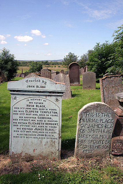
Image: © Walter Baxter Taken: 26 Jul 2011
There are some interesting gravestones in the kirkyard. The Auld Kirk built in 1659 is now an ivy-clad ruin Image
Images are licensed for reuse under creativecommons.org/licenses/by-sa/2.0
Image Location
Latitude
55.398148
Longitude
-4.184719