Corner of Golden Mile View and Bassaleg Road, Newport
Introduction
The photograph on this page of Corner of Golden Mile View and Bassaleg Road, Newport by Jaggery as part of the Geograph project.
The Geograph project started in 2005 with the aim of publishing, organising and preserving representative images for every square kilometre of Great Britain, Ireland and the Isle of Man.

There are currently over 7.5m images from over 14,400 individuals and you can help contribute to the project by visiting https://www.geograph.org.uk
Corner of Golden Mile View and Bassaleg Road, Newport
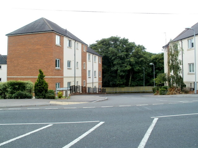
Image: © Jaggery Taken: 21 Jul 2011
Viewed across Bassaleg Road. There are about 120 flats in Golden Mile View, contained in several individually-named buildings, most of which are out of shot. The one on the left is Griffin House. Golden Mile View is at the edge of a section of railway line that passed through Lord Tredegar's estate. He charged a levy of one penny per mile per ton of coal crossing his land. That may not sound like much, but for a while (1870s) Newport Docks was the largest exporter of coal in the world, and it all passed along the Golden Mile.
Images are licensed for reuse under creativecommons.org/licenses/by-sa/2.0
Image Location
Latitude
51.576398
Longitude
-3.034617