Aberdalgie
Introduction
The photograph on this page of Aberdalgie by Lis Burke as part of the Geograph project.
The Geograph project started in 2005 with the aim of publishing, organising and preserving representative images for every square kilometre of Great Britain, Ireland and the Isle of Man.

There are currently over 7.5m images from over 14,400 individuals and you can help contribute to the project by visiting https://www.geograph.org.uk
Aberdalgie
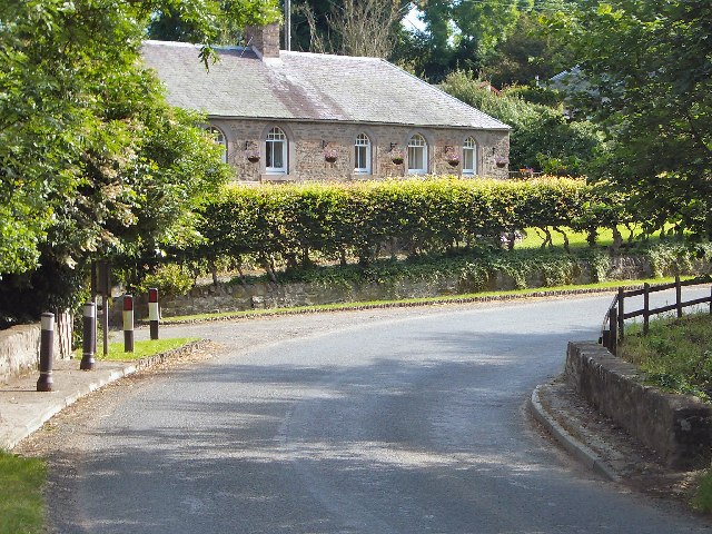
Image: © Lis Burke Taken: 9 Jul 2005
The map says 'Milltown of Aberdalgie' but the sign on the road is just 'Aberdalgie'. A sharp bend over a small bridge on the B9112.
Images are licensed for reuse under creativecommons.org/licenses/by-sa/2.0
Image Location


Leaflet Map data © OpenStreetMap
Latitude
56.367751
Longitude
-3.497386