Towards Trowan
Introduction
The photograph on this page of Towards Trowan by Graham Horn as part of the Geograph project.
The Geograph project started in 2005 with the aim of publishing, organising and preserving representative images for every square kilometre of Great Britain, Ireland and the Isle of Man.

There are currently over 7.5m images from over 14,400 individuals and you can help contribute to the project by visiting https://www.geograph.org.uk
Towards Trowan
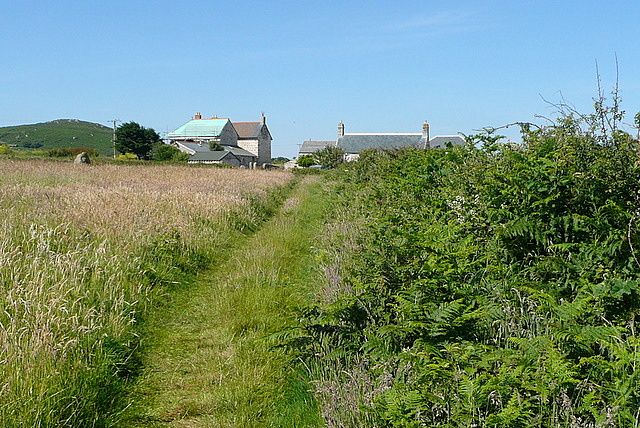
Image: © Graham Horn Taken: 3 Jul 2011
An inland path heads west from St Ives, linking many fields and interspersed with small farms. This is the first, Trowan, adjacent to a field of coarse grass.
Images are licensed for reuse under creativecommons.org/licenses/by-sa/2.0
Image Location
Latitude
50.209522
Longitude
-5.513653