Lloyd Park Tramlink stop
Introduction
The photograph on this page of Lloyd Park Tramlink stop by Marathon as part of the Geograph project.
The Geograph project started in 2005 with the aim of publishing, organising and preserving representative images for every square kilometre of Great Britain, Ireland and the Isle of Man.

There are currently over 7.5m images from over 14,400 individuals and you can help contribute to the project by visiting https://www.geograph.org.uk
Lloyd Park Tramlink stop
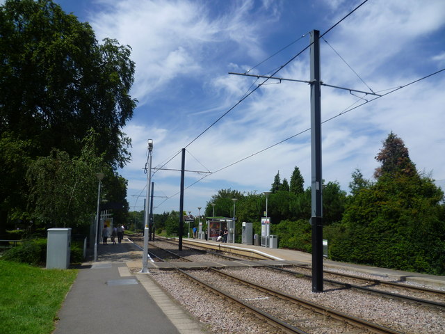
Image: © Marathon Taken: 25 Jul 2011
Lloyd Park Tramlink stop is on the New Addington branch. It was opened in 2000. This view looks towards Croydon, although just ahead is a sharp right hand bend to follow the route of the old South Croydon to Woodside Railway through a tunnel, before turning through a sharp left hand bend to head towards East Croydon.
Images are licensed for reuse under creativecommons.org/licenses/by-sa/2.0
Image Location
Latitude
51.364022
Longitude
-0.081202