Sandilands Tramlink stop
Introduction
The photograph on this page of Sandilands Tramlink stop by Marathon as part of the Geograph project.
The Geograph project started in 2005 with the aim of publishing, organising and preserving representative images for every square kilometre of Great Britain, Ireland and the Isle of Man.

There are currently over 7.5m images from over 14,400 individuals and you can help contribute to the project by visiting https://www.geograph.org.uk
Sandilands Tramlink stop
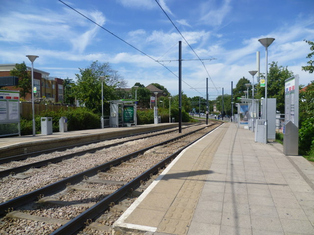
Image: © Marathon Taken: 25 Jul 2011
Sandilands Tramlink stop is served by all three Tramlink routes. The area of Sandilands tram stop was one of the few places where property demolition was needed during the construction of Tramlink. This was necessary to make way for both the stop and the cutting link to the junction with the trackbed of the former Woodside and South Croydon Railway to the east where the route to New Addington diverges from those to Beckenham Junction and Elmers End.
Images are licensed for reuse under creativecommons.org/licenses/by-sa/2.0
Image Location
Latitude
51.375026
Longitude
-0.077725