Caister Close, Weston-super-Mare
Introduction
The photograph on this page of Caister Close, Weston-super-Mare by Jaggery as part of the Geograph project.
The Geograph project started in 2005 with the aim of publishing, organising and preserving representative images for every square kilometre of Great Britain, Ireland and the Isle of Man.

There are currently over 7.5m images from over 14,400 individuals and you can help contribute to the project by visiting https://www.geograph.org.uk
Caister Close, Weston-super-Mare
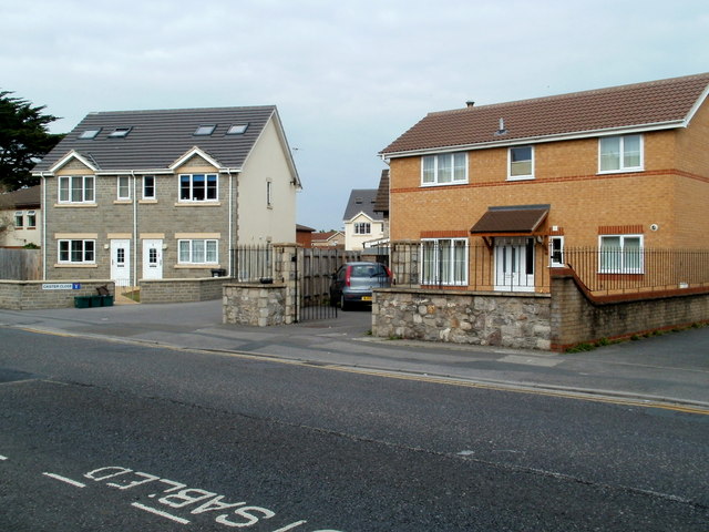
Image: © Jaggery Taken: 27 Jul 2011
Viewed across Drove Road. The two grey semis on the left are at the western edge of Caister Close. The grey roof of the next two semis can be seen in the centre background.
Images are licensed for reuse under creativecommons.org/licenses/by-sa/2.0
Image Location
Latitude
51.337765
Longitude
-2.970375