Cut grass near Spitchwick Manor
Introduction
The photograph on this page of Cut grass near Spitchwick Manor by Bill Boaden as part of the Geograph project.
The Geograph project started in 2005 with the aim of publishing, organising and preserving representative images for every square kilometre of Great Britain, Ireland and the Isle of Man.

There are currently over 7.5m images from over 14,400 individuals and you can help contribute to the project by visiting https://www.geograph.org.uk
Cut grass near Spitchwick Manor
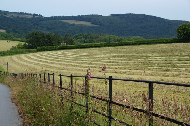
Image: © Bill Boaden Taken: 27 Jun 2011
This is approaching the valley of the Webburn, which joins the Dart not far ahead.
Images are licensed for reuse under creativecommons.org/licenses/by-sa/2.0
Image Location
Latitude
50.536533
Longitude
-3.823809