Keisley
Introduction
The photograph on this page of Keisley by Trevor Littlewood as part of the Geograph project.
The Geograph project started in 2005 with the aim of publishing, organising and preserving representative images for every square kilometre of Great Britain, Ireland and the Isle of Man.

There are currently over 7.5m images from over 14,400 individuals and you can help contribute to the project by visiting https://www.geograph.org.uk
Keisley
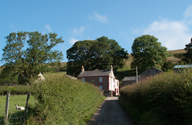
Image: © Trevor Littlewood Taken: 24 Jul 2011
Keisley is a farm lying north of a minor road connecting the villages of Dufton and Murton.
Images are licensed for reuse under creativecommons.org/licenses/by-sa/2.0
Image Location
Latitude
54.608265
Longitude
-2.447547