Leekbrook from above
Introduction
The photograph on this page of Leekbrook from above by Ian Calderwood as part of the Geograph project.
The Geograph project started in 2005 with the aim of publishing, organising and preserving representative images for every square kilometre of Great Britain, Ireland and the Isle of Man.

There are currently over 7.5m images from over 14,400 individuals and you can help contribute to the project by visiting https://www.geograph.org.uk
Leekbrook from above
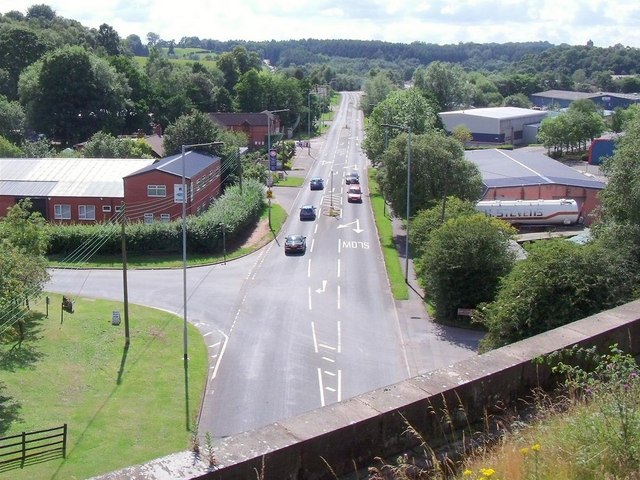
Image: © Ian Calderwood Taken: 23 Jul 2011
Leekbrook is a small industrial settlement south of Leek. Leek Brook runs into the River Churnet nearby. This shot was taken from a train crossing the viaduct over the A520.
Images are licensed for reuse under creativecommons.org/licenses/by-sa/2.0
Image Location
Latitude
53.083488
Longitude
-2.021457