Path around the edge of Salcombe
Introduction
The photograph on this page of Path around the edge of Salcombe by Bill Boaden as part of the Geograph project.
The Geograph project started in 2005 with the aim of publishing, organising and preserving representative images for every square kilometre of Great Britain, Ireland and the Isle of Man.

There are currently over 7.5m images from over 14,400 individuals and you can help contribute to the project by visiting https://www.geograph.org.uk
Path around the edge of Salcombe
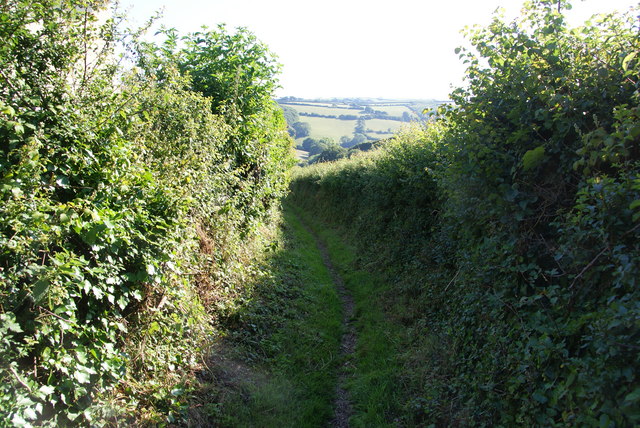
Image: © Bill Boaden Taken: 26 Jun 2011
This path was here before the nearby housing developments. I had been hoping to cut through the estate, but as with many developments there wasn't a way through, with the residents not wanting a right of way past their homes.
Images are licensed for reuse under creativecommons.org/licenses/by-sa/2.0
Image Location
Latitude
50.237673
Longitude
-3.782506