House on Widdrington Moor
Introduction
The photograph on this page of House on Widdrington Moor by Oliver Dixon as part of the Geograph project.
The Geograph project started in 2005 with the aim of publishing, organising and preserving representative images for every square kilometre of Great Britain, Ireland and the Isle of Man.

There are currently over 7.5m images from over 14,400 individuals and you can help contribute to the project by visiting https://www.geograph.org.uk
House on Widdrington Moor
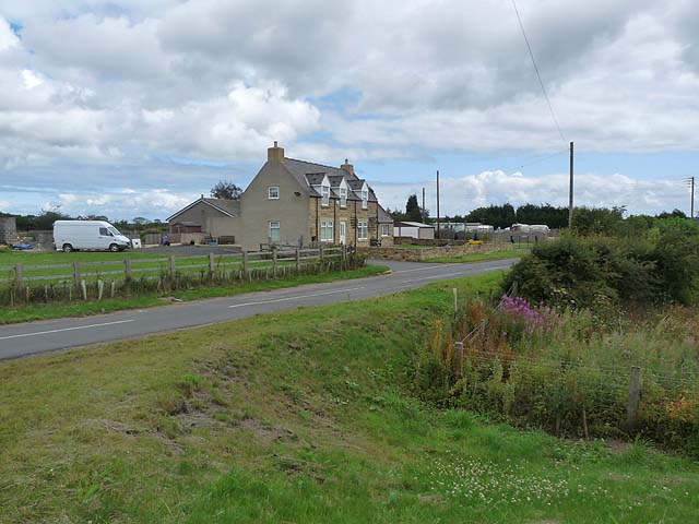
Image: © Oliver Dixon Taken: 22 Jul 2011
Older Landranger maps show this as a pub. It stands on a road which once ran through from Chevington Moor to Widdrington village. However, the development of the huge Steadsburn opencast site from 2007 has led to the southward diversion of the through road.
Images are licensed for reuse under creativecommons.org/licenses/by-sa/2.0
Image Location


Leaflet Map data © OpenStreetMap
Latitude
55.256279
Longitude
-1.635445