Normanton on Soar: The Plough
Introduction
The photograph on this page of Normanton on Soar: The Plough by Nigel Cox as part of the Geograph project.
The Geograph project started in 2005 with the aim of publishing, organising and preserving representative images for every square kilometre of Great Britain, Ireland and the Isle of Man.

There are currently over 7.5m images from over 14,400 individuals and you can help contribute to the project by visiting https://www.geograph.org.uk
Normanton on Soar: The Plough
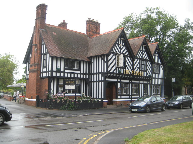
Image: © Nigel Cox Taken: 17 Jul 2011
The Plough is on the Main Street and its website is here http://www.theploughnormanton.co.uk/ The pub backs onto the River Soar, and old Victorian Ordnance Survey maps show several boat houses at the rear of the pub. The village is shown as Normanton upon Soar.
Images are licensed for reuse under creativecommons.org/licenses/by-sa/2.0
Image Location


Leaflet Map data © OpenStreetMap
Latitude
52.802532
Longitude
-1.233838