St.Mary & All Saints' nave
Introduction
The photograph on this page of St.Mary & All Saints' nave by Richard Croft as part of the Geograph project.
The Geograph project started in 2005 with the aim of publishing, organising and preserving representative images for every square kilometre of Great Britain, Ireland and the Isle of Man.

There are currently over 7.5m images from over 14,400 individuals and you can help contribute to the project by visiting https://www.geograph.org.uk
St.Mary & All Saints' nave
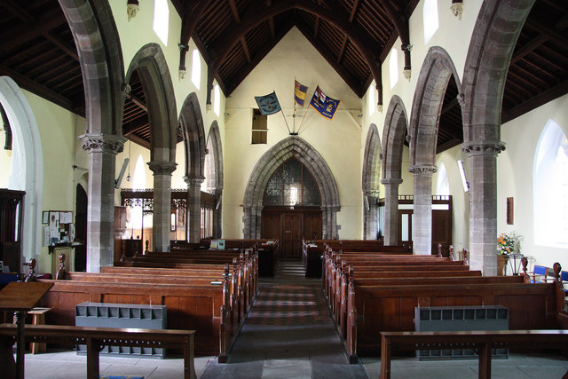
Image: © Richard Croft Taken: 15 Jul 2011
View west with late 13th century arcades and tower arch
Images are licensed for reuse under creativecommons.org/licenses/by-sa/2.0
Image Location
Latitude
52.952277
Longitude
-0.948836