Pasture at Resparveth
Introduction
The photograph on this page of Pasture at Resparveth by Graham Horn as part of the Geograph project.
The Geograph project started in 2005 with the aim of publishing, organising and preserving representative images for every square kilometre of Great Britain, Ireland and the Isle of Man.

There are currently over 7.5m images from over 14,400 individuals and you can help contribute to the project by visiting https://www.geograph.org.uk
Pasture at Resparveth
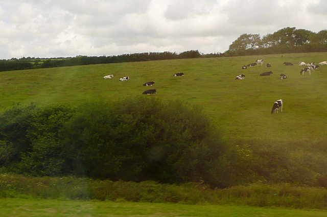
Image: © Graham Horn Taken: 9 Jul 2011
The rounded hills between Truro and St Austell lend themselves to cattle pastures, as seen here at Resparveth farm. This photo was taken from the 1158 Penzance to London Paddington train, having left Truro at 1244.
Images are licensed for reuse under creativecommons.org/licenses/by-sa/2.0
Image Location
Latitude
50.310762
Longitude
-4.94656