Ampere Way near Croydon
Introduction
The photograph on this page of Ampere Way near Croydon by Malc McDonald as part of the Geograph project.
The Geograph project started in 2005 with the aim of publishing, organising and preserving representative images for every square kilometre of Great Britain, Ireland and the Isle of Man.

There are currently over 7.5m images from over 14,400 individuals and you can help contribute to the project by visiting https://www.geograph.org.uk
Ampere Way near Croydon
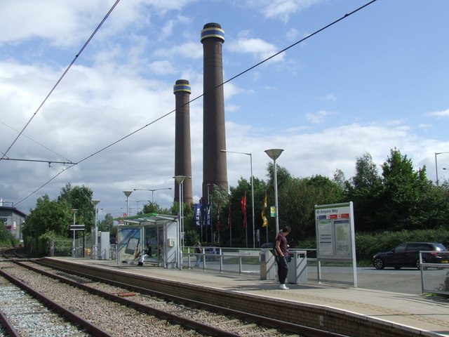
Image: © Malc McDonald Taken: 16 Jul 2011
The Ampere Way tram stop on Croydon's Tramlink system. The system opened in 2000. Ampere Way is on a section of route which was previously a suburban railway line, although there was never a station here. In the background, the chimneys are a reminder of an electricity generating station which stood here. Note that "ampere" is a unit of electric current.
Images are licensed for reuse under creativecommons.org/licenses/by-sa/2.0
Image Location
Latitude
51.382617
Longitude
-0.1244