Approaching Avil's farm
Introduction
The photograph on this page of Approaching Avil's farm by Derek Harper as part of the Geograph project.
The Geograph project started in 2005 with the aim of publishing, organising and preserving representative images for every square kilometre of Great Britain, Ireland and the Isle of Man.

There are currently over 7.5m images from over 14,400 individuals and you can help contribute to the project by visiting https://www.geograph.org.uk
Approaching Avil's farm
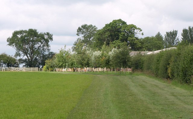
Image: © Derek Harper Taken: 19 Jul 2011
Bridleway SSTQ7 runs alongside a hedge towards a small plantation of young trees masking farm buildings. The line of the right of way passes between the farm buildings, but, whether officially or unofficially, you are somehow guided right round the outside of the farm.
Images are licensed for reuse under creativecommons.org/licenses/by-sa/2.0
Image Location
Latitude
51.52859
Longitude
-2.096822