Pavilion, Llangadog Recreational Grounds
Introduction
The photograph on this page of Pavilion, Llangadog Recreational Grounds by Jaggery as part of the Geograph project.
The Geograph project started in 2005 with the aim of publishing, organising and preserving representative images for every square kilometre of Great Britain, Ireland and the Isle of Man.

There are currently over 7.5m images from over 14,400 individuals and you can help contribute to the project by visiting https://www.geograph.org.uk
Pavilion, Llangadog Recreational Grounds
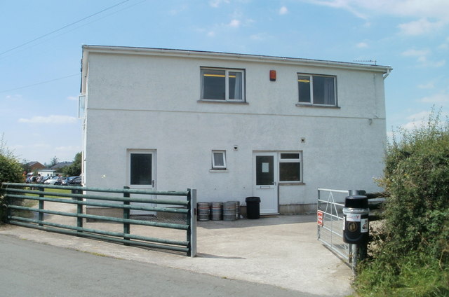
Image: © Jaggery Taken: 3 Jul 2011
A roadside view of the pavilion, located in the SE corner of the recreation grounds, the home venue for Llangadog RFC (rugby football club). The white-on-red notice on the gate is identical to this one http://www.geograph.org.uk/photo/2516631 in the SW corner of the grounds.
Images are licensed for reuse under creativecommons.org/licenses/by-sa/2.0
Image Location
Latitude
51.937332
Longitude
-3.876441