Golwg-y-mynydd, Llangadog
Introduction
The photograph on this page of Golwg-y-mynydd, Llangadog by Jaggery as part of the Geograph project.
The Geograph project started in 2005 with the aim of publishing, organising and preserving representative images for every square kilometre of Great Britain, Ireland and the Isle of Man.

There are currently over 7.5m images from over 14,400 individuals and you can help contribute to the project by visiting https://www.geograph.org.uk
Golwg-y-mynydd, Llangadog
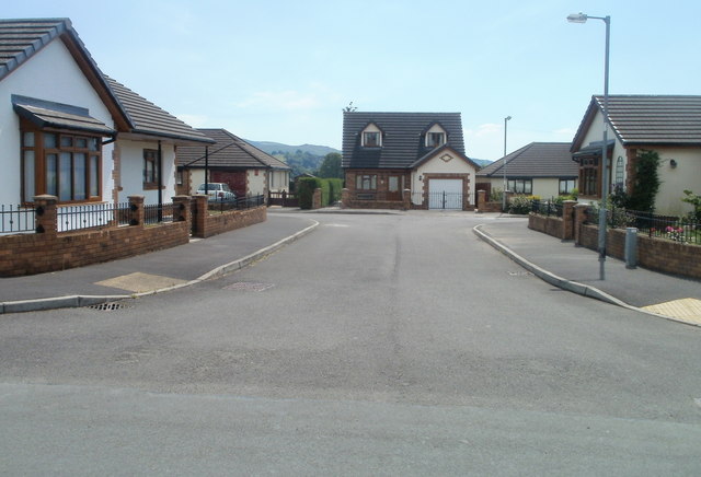
Image: © Jaggery Taken: 3 Jul 2011
Golwg-y-mynydd is a T-shaped residential cul-de-sac. This view is from Heol Pendref looking along the stem of the T. The two arms of the T extend left and right in the distance. Golwg-y-mynydd is Mountain View in English, though only the Welsh form is shown on the name signs.
Images are licensed for reuse under creativecommons.org/licenses/by-sa/2.0
Image Location
Latitude
51.937262
Longitude
-3.880803