The road to Myddfai from Llangadog
Introduction
The photograph on this page of The road to Myddfai from Llangadog by Jaggery as part of the Geograph project.
The Geograph project started in 2005 with the aim of publishing, organising and preserving representative images for every square kilometre of Great Britain, Ireland and the Isle of Man.

There are currently over 7.5m images from over 14,400 individuals and you can help contribute to the project by visiting https://www.geograph.org.uk
The road to Myddfai from Llangadog
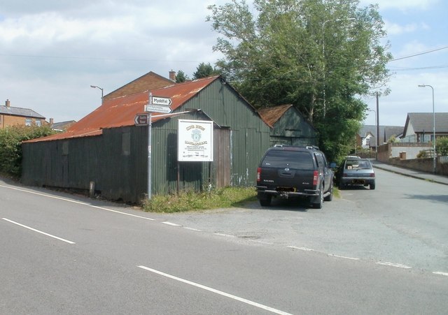
Image: © Jaggery Taken: 3 Jul 2011
Viewed from High Street, Llangadog. Heol Pendref, the right fork at a junction opposite two rusty-roofed corrugated metal buildings leads to the small village of Myddfai, Image about 7 kilometres away. The road also leads to Llangadog Recreation Grounds, http://www.geograph.org.uk/photo/2516620 the home of Llangadog RFC (rugby football club).
Images are licensed for reuse under creativecommons.org/licenses/by-sa/2.0
Image Location


Leaflet Map data © OpenStreetMap
Latitude
51.937239
Longitude
-3.882257