Hampen Lodge
Introduction
The photograph on this page of Hampen Lodge by Michael Dibb as part of the Geograph project.
The Geograph project started in 2005 with the aim of publishing, organising and preserving representative images for every square kilometre of Great Britain, Ireland and the Isle of Man.

There are currently over 7.5m images from over 14,400 individuals and you can help contribute to the project by visiting https://www.geograph.org.uk
Hampen Lodge
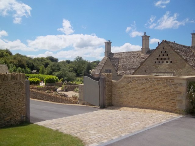
Image: © Michael Dibb Taken: 26 Jun 2011
Shown on the OS maps as Valley Farm House, this property has been pretentiously renamed Hampen Lodge.
Images are licensed for reuse under creativecommons.org/licenses/by-sa/2.0
Image Location
Latitude
51.877008
Longitude
-1.915701