The trig point on Hardie's Hill
Introduction
The photograph on this page of The trig point on Hardie's Hill by Walter Baxter as part of the Geograph project.
The Geograph project started in 2005 with the aim of publishing, organising and preserving representative images for every square kilometre of Great Britain, Ireland and the Isle of Man.

There are currently over 7.5m images from over 14,400 individuals and you can help contribute to the project by visiting https://www.geograph.org.uk
The trig point on Hardie's Hill
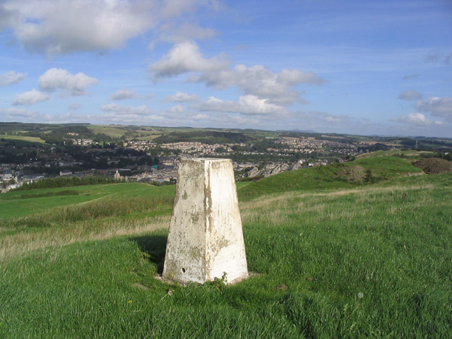
Image: © Walter Baxter Taken: 30 Sep 2006
This trig point at 211m overlooks the town of Hawick in the Scottish Borders
Images are licensed for reuse under creativecommons.org/licenses/by-sa/2.0
Image Location
Latitude
55.414611
Longitude
-2.784386