In Carville Hall Park
Introduction
The photograph on this page of In Carville Hall Park by Marathon as part of the Geograph project.
The Geograph project started in 2005 with the aim of publishing, organising and preserving representative images for every square kilometre of Great Britain, Ireland and the Isle of Man.

There are currently over 7.5m images from over 14,400 individuals and you can help contribute to the project by visiting https://www.geograph.org.uk
In Carville Hall Park
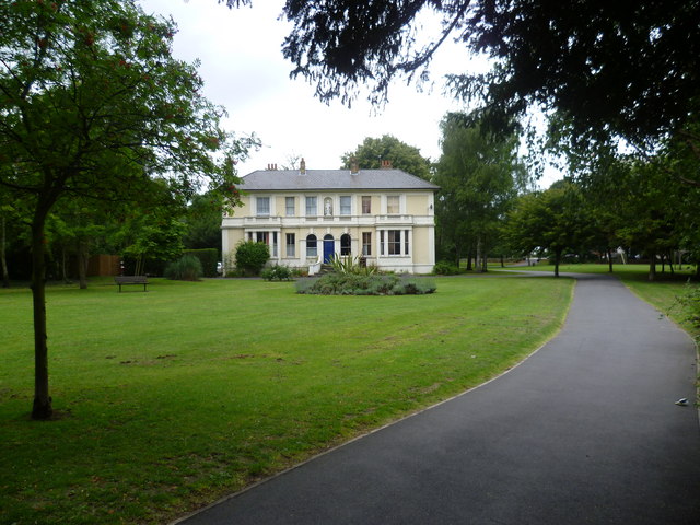
Image: © Marathon Taken: 20 Jul 2011
Carville Hall is a 19th century house, located in Carville Hall Park. The park lies between the Hounslow Loop railway to the south, and the Great West Road and M4 flyover to the north. It is easily missed and probably only local people know it is there.
Images are licensed for reuse under creativecommons.org/licenses/by-sa/2.0
Image Location
Latitude
51.490555
Longitude
-0.297008