Towards Knill's Monument
Introduction
The photograph on this page of Towards Knill's Monument by Graham Horn as part of the Geograph project.
The Geograph project started in 2005 with the aim of publishing, organising and preserving representative images for every square kilometre of Great Britain, Ireland and the Isle of Man.

There are currently over 7.5m images from over 14,400 individuals and you can help contribute to the project by visiting https://www.geograph.org.uk
Towards Knill's Monument
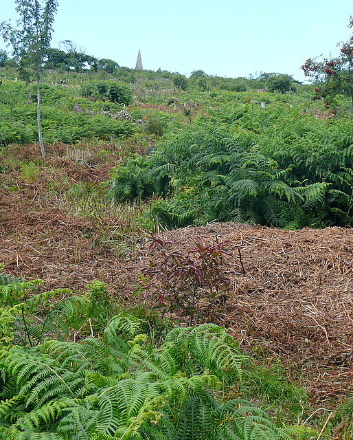
Image: © Graham Horn Taken: 2 Jul 2011
There are many paths in this area, with bracken covered ground between. On top of the hill is Knill's Monument, and although there is no path visible here the monument is actually very accessible.
Images are licensed for reuse under creativecommons.org/licenses/by-sa/2.0
Image Location
Latitude
50.195273
Longitude
-5.478971