Sand pit at Storrington seen from Chantry Hill
Introduction
The photograph on this page of Sand pit at Storrington seen from Chantry Hill by Shazz as part of the Geograph project.
The Geograph project started in 2005 with the aim of publishing, organising and preserving representative images for every square kilometre of Great Britain, Ireland and the Isle of Man.

There are currently over 7.5m images from over 14,400 individuals and you can help contribute to the project by visiting https://www.geograph.org.uk
Sand pit at Storrington seen from Chantry Hill
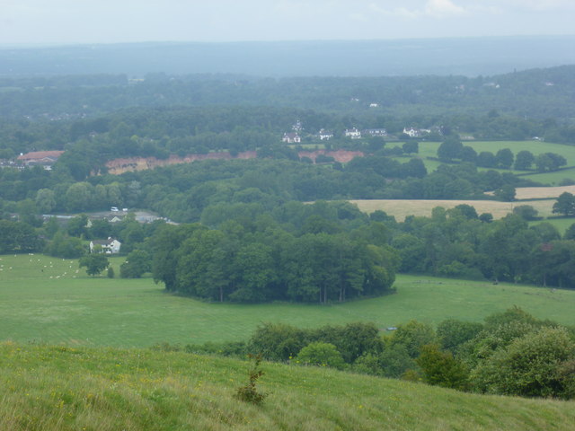
Image: © Shazz Taken: 19 Jul 2011
The red gash across the landscape is easy to see even on a dull afternoon.
Images are licensed for reuse under creativecommons.org/licenses/by-sa/2.0
Image Location
Latitude
50.914291
Longitude
-0.444737