Sustrans National Cycle Network
Introduction
The photograph on this page of Sustrans National Cycle Network by Peter Barr as part of the Geograph project.
The Geograph project started in 2005 with the aim of publishing, organising and preserving representative images for every square kilometre of Great Britain, Ireland and the Isle of Man.

There are currently over 7.5m images from over 14,400 individuals and you can help contribute to the project by visiting https://www.geograph.org.uk
Sustrans National Cycle Network
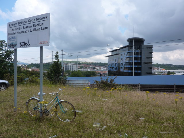
Image: © Peter Barr Taken: 19 Jul 2011
Sheffield's Eastern Section, a sign, and a chained bike.Cricket Inn Road.
Images are licensed for reuse under creativecommons.org/licenses/by-sa/2.0
Image Location


Leaflet Map data © OpenStreetMap
Latitude
53.384349
Longitude
-1.452412