Farm buildings at Coplow Dale
Introduction
The photograph on this page of Farm buildings at Coplow Dale by Peter Barr as part of the Geograph project.
The Geograph project started in 2005 with the aim of publishing, organising and preserving representative images for every square kilometre of Great Britain, Ireland and the Isle of Man.

There are currently over 7.5m images from over 14,400 individuals and you can help contribute to the project by visiting https://www.geograph.org.uk
Farm buildings at Coplow Dale
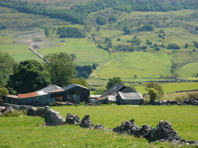
Image: © Peter Barr Taken: 15 Jul 2011
Half a mile north of Little Hucklow, looking east. The slopes of Abney Moor in the background.
Images are licensed for reuse under creativecommons.org/licenses/by-sa/2.0
Image Location
Latitude
53.307425
Longitude
-1.756844