Humber Lane
Introduction
The photograph on this page of Humber Lane by Kate Jewell as part of the Geograph project.
The Geograph project started in 2005 with the aim of publishing, organising and preserving representative images for every square kilometre of Great Britain, Ireland and the Isle of Man.

There are currently over 7.5m images from over 14,400 individuals and you can help contribute to the project by visiting https://www.geograph.org.uk
Humber Lane
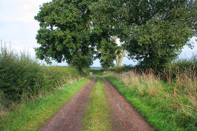
Image: © Kate Jewell Taken: 30 Sep 2006
Looking towards East Stoke. This lane follows the line of an old medieval road that ran along the high ground to the east of the River Trent. It passes straight through the main battlefield site of Stoke Field, (1487).
Images are licensed for reuse under creativecommons.org/licenses/by-sa/2.0
Image Location
Latitude
53.038345
Longitude
-0.883806