Branch path [1]
Introduction
The photograph on this page of Branch path [1] by Michael Dibb as part of the Geograph project.
The Geograph project started in 2005 with the aim of publishing, organising and preserving representative images for every square kilometre of Great Britain, Ireland and the Isle of Man.

There are currently over 7.5m images from over 14,400 individuals and you can help contribute to the project by visiting https://www.geograph.org.uk
Branch path [1]
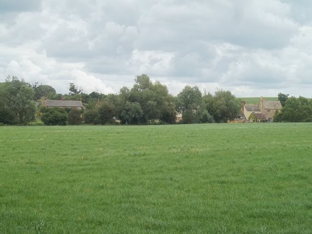
Image: © Michael Dibb Taken: 19 Jun 2011
Another footpath branches off and, after crossing the stream, heads towards Norton Grounds Farm, seen in the distance.
Images are licensed for reuse under creativecommons.org/licenses/by-sa/2.0
Image Location
Latitude
52.081493
Longitude
-1.797555