National Cycle Network - route 77
Introduction
The photograph on this page of National Cycle Network - route 77 by Richard Webb as part of the Geograph project.
The Geograph project started in 2005 with the aim of publishing, organising and preserving representative images for every square kilometre of Great Britain, Ireland and the Isle of Man.

There are currently over 7.5m images from over 14,400 individuals and you can help contribute to the project by visiting https://www.geograph.org.uk
National Cycle Network - route 77
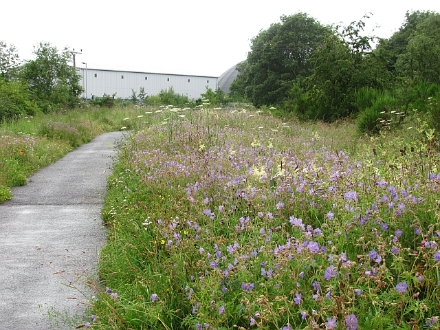
Image: © Richard Webb Taken: 18 Jul 2011
Another dull and rainy morning, but the flowers alongside the Almond still put on a big display. Hopefully they will continue to flourish here, but invasive aliens are in the area and the giant hogweed and Himalayan balsam could soon take over.
Images are licensed for reuse under creativecommons.org/licenses/by-sa/2.0
Image Location
Latitude
56.419153
Longitude
-3.481897