Bench Mark, Wilton Road
Introduction
The photograph on this page of Bench Mark, Wilton Road by Maigheach-gheal as part of the Geograph project.
The Geograph project started in 2005 with the aim of publishing, organising and preserving representative images for every square kilometre of Great Britain, Ireland and the Isle of Man.

There are currently over 7.5m images from over 14,400 individuals and you can help contribute to the project by visiting https://www.geograph.org.uk
Bench Mark, Wilton Road
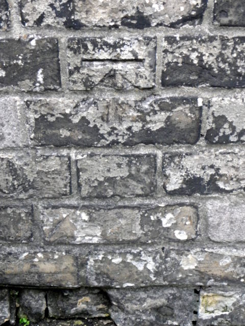
Image: © Maigheach-gheal Taken: 18 Jul 2011
The Ordnance Survey bench mark is to be found on the south west angle of the Emmanuel Church. For a wider view of the church Image and for further information on the cut mark and others in the area http://www.bench-marks.org.uk/bm23170
Images are licensed for reuse under creativecommons.org/licenses/by-sa/2.0
Image Location
Latitude
51.072678
Longitude
-1.806406