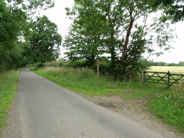
Lane to Apley and Footpath to Goltho Chapel
Introduction
The photograph on this page of Lane to Apley and Footpath to Goltho Chapel by J.Hannan-Briggs as part of the Geograph project.
The Geograph project started in 2005 with the aim of publishing, organising and preserving representative images for every square kilometre of Great Britain, Ireland and the Isle of Man.
There are currently over 7.5m images from over 14,400 individuals and you can help contribute to the project by visiting https://www.geograph.org.uk

Image: © J.Hannan-Briggs Taken: 17 Jul 2011
The lane just clips the square here. A lost medieval village dating back to Saxon times, Goltho probably means "The place where the Marigolds grow". That the 40-acre site once represented one of the best examples of a clay-land mediaeval village in the East Midlands and the size of the sunken roads, some 40 feet wide and 5 feet deep, saved the site from the plough for over 500 years. Thanks to Templar on www.qype.co.uk/place/223548-Goltho-Deserted-Village-Lincoln

