University car park - once a canal wharf
Introduction
The photograph on this page of University car park - once a canal wharf by John Sutton as part of the Geograph project.
The Geograph project started in 2005 with the aim of publishing, organising and preserving representative images for every square kilometre of Great Britain, Ireland and the Isle of Man.

There are currently over 7.5m images from over 14,400 individuals and you can help contribute to the project by visiting https://www.geograph.org.uk
University car park - once a canal wharf
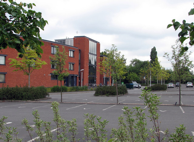
Image: © John Sutton Taken: 12 Jul 2011
This is part of the Jubilee Campus of Nottingham University, and I really needed a photo permit, the friendly gateman told me. My reason for taking this dull picture on a dull morning, I explained, was that in the distant past this was the site of the canalside part of Babbington Wharf, where coal brought by a single-track railway from Babbington Colliery at Cinderhill was transferred to barges. The other part of Babbington Wharf was a set of sidings and a weighbridge on the other side of Wollaton Road, more or less where the houses and gardens of Marchwood Close are now. The wharf and the canal fell out of use in the first part of the 20th century and the Babbington Colliery Railway was abandoned south of Newcastle Wharf and Melbourne Park when Western Boulevard was built in the 1930s. Old OS maps show all of this clearly. For other vestiges of the Babbington Colliery line, see Image], Image], Image], Image], Image], Image], Image] and Image
Images are licensed for reuse under creativecommons.org/licenses/by-sa/2.0
Image Location
Latitude
52.954979
Longitude
-1.190659