A34 Yarlet Bank
Introduction
The photograph on this page of A34 Yarlet Bank by Stephen Pearce as part of the Geograph project.
The Geograph project started in 2005 with the aim of publishing, organising and preserving representative images for every square kilometre of Great Britain, Ireland and the Isle of Man.

There are currently over 7.5m images from over 14,400 individuals and you can help contribute to the project by visiting https://www.geograph.org.uk
A34 Yarlet Bank
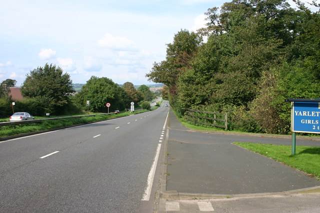
Image: © Stephen Pearce Taken: 25 Sep 2006
This is Yarlet Bank, south bound carriageway on the A34 near to Stafford. On the right in the foreground is the entrance to Yarlet Prep school for Girls and Boys.
Images are licensed for reuse under creativecommons.org/licenses/by-sa/2.0
Image Location


Leaflet Map data © OpenStreetMap
Latitude
52.862911
Longitude
-2.132153