Tadpole Farm, North of Swindon
Introduction
The photograph on this page of Tadpole Farm, North of Swindon by Martyn Pattison as part of the Geograph project.
The Geograph project started in 2005 with the aim of publishing, organising and preserving representative images for every square kilometre of Great Britain, Ireland and the Isle of Man.

There are currently over 7.5m images from over 14,400 individuals and you can help contribute to the project by visiting https://www.geograph.org.uk
Tadpole Farm, North of Swindon
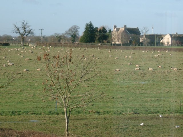
Image: © Martyn Pattison Taken: 19 Dec 2004
This picture was taken from the Broad Blunsdon to Purton road, which divides the square and marks the northern boundary of Swindon housing development. South of this road is a new housing estate, north of the road is still countryside (but for how long?)
Images are licensed for reuse under creativecommons.org/licenses/by-sa/2.0
Image Location


Leaflet Map data © OpenStreetMap
Latitude
51.608176
Longitude
-1.833454