Disused Quarry below Lund's Tower
Introduction
The photograph on this page of Disused Quarry below Lund's Tower by Chris Heaton as part of the Geograph project.
The Geograph project started in 2005 with the aim of publishing, organising and preserving representative images for every square kilometre of Great Britain, Ireland and the Isle of Man.

There are currently over 7.5m images from over 14,400 individuals and you can help contribute to the project by visiting https://www.geograph.org.uk
Disused Quarry below Lund's Tower
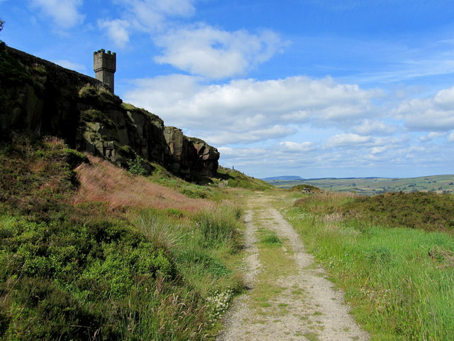
Image: © Chris Heaton Taken: 13 Jul 2011
Track from Dick Lane leads through this abandoned quarry to climb up to the folly of Lund's Tower on Earl Crag
Images are licensed for reuse under creativecommons.org/licenses/by-sa/2.0
Image Location
Latitude
53.884089
Longitude
-2.013199